Since ancient times, stars and constellations have played a considerable role in people’s lives. From determining harvest times to shaping religions, reading and predicting the position of stars became a major area of knowledge. There are accounts of ancient Greeks using Polaris as a reference (which had a declination of about 77.5°N according to Hipparchus) and several stories from the Age of Discovery when sailors miscalculated longitude, often to their peril.
With better marine technology and additional studies in the 20th century, accuracy in fixing the position of a vessel improved. For example, the 1916 voyage of Ernest Shackleton on the James Caird, from Elephant Island to South Georgia Island during the Imperial Trans-Antarctic Expedition, required only five “sights” on the 16-day journey. On navy ships, deck officers benefited from better navigation by dead reckoning and, therefore, could focus more on situational awareness rather than correcting trigonometric triangles.
Finally, the late 20th century saw the birth of the most accurate and reliable navigation tool invented to date—the Global Positioning System (GPS), which soon became the primary navigation system for U.S. vessels. By 2006, the U.S. Navy no longer taught celestial navigation. Nonetheless, it soon became clear that GPS was not infallible. Spoofing and antisatellite missiles presented a growing threat to GPS-based combat systems. The need to reinstate celestial navigation as a secondary navigation system became apparent.
Anyone who has worked as an educator knows it is much easier to remove a subject from the curriculum than it is to reinsert it in a new light. Resuming instruction is a major challenge, especially considering celestial navigation had not been consistently used for decades, as my experience while serving as an international exchange officer and assistant navigator on board the USS Lake Erie (CG-70) in 2018 confirmed.
Celestial Navigation—Really?
Before the Navy’s 2016 order to reinstate celestial navigation training, there was a common lack of knowledge in the discipline, even though many sailors infrequently used the System to Estimate Latitude and Longitude Astronomically (STELLA) program. The Lake Erie’s navigation team had difficulty confirming the information shown on the STELLA screen with what could be observed in the sky. For example, during night watches, the watchstanders could not identify the vertices of the Betelgeuse-Sirius-Procyon triangle.
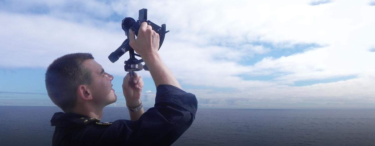
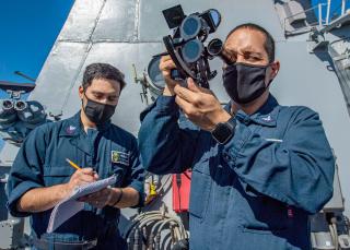
While the watchstanders found using STELLA difficult because of lack of practice, using a sextant was far more complicated. No sailor on board had used one. The senior enlisted who had a professional interest in celestial navigation theory had never pursued the skills necessary to apply it, and technology made it easier for junior enlisted and officers to excel in digital and automated platforms. Developing celestial navigation skills was not going to be an easy task, although a satisfactory proficiency could be reached with enough motivation and time on the open ocean.
Training and Testing
The Pacific transit from San Diego to Hawaii and Lake Erie’s participation in the 2018 Rim of the Pacific exercise were good opportunities to calculate and plot Lines of Position (LOPs) and celestial fixes and derive estimated positions from them. The first training session established basic recognition of the constellations and major magnitude stars necessary to get a reliable fix.
Sextant training was mainly conducted on sunny days, which make it easier to demonstrate technique and set corrections once a certain skill baseline is attained. The most difficult stage of training was plotting LOPs, especially for a solar running fix. Plotting lines in a set of defined steps seemed like a difficult task when transferring all data onto a plotting chart. It was challenging for quartermasters to graph LOPs for the first time. Everything taught in manual chart plotting could be represented in the Voyage Management System (VMS) as well. Therefore, the second stage of plotting work involved filling the values obtained from the trigonometric equations in the corresponding VMS tabs to corroborate that a solar running fix shown on screen could be easy to obtain, provided that changes of course and speed are properly registered.
Before completing the transit, the navigation team was able (slowly but surely) to conduct the steps to get a celestial fix. Although major oversight was needed, quartermasters achieved an accuracy within about 10 nautical miles (nm), or what is expected from a beginner.
To simplify the process and make it digital friendly, I filled an Excel file with initial fix data that the quartermasters could then directly process in VMS as range and bearing inputs, significantly shortening the time for manual plotting and calculations. Ultimately, plotting LOPs and visualizing a fix on VMS became an automated process that only needed the output of the Excel file, time of “sight,” and the assumed position of the ship. This method could lead to a software upgrade for VMS, which would permit comparing the celestial fix to the ship’s GPS position and giving the quartermasters ample time to take a sight without neglecting their traditional duties.
The Lake Erie Case
The Lake Erie deployed overseas in 2019, presenting a better opportunity to train in celestial navigation. The goal was to transit from San Diego, California, to Pearl Harbor, Hawaii, from 19 to 25 April, using only dead reckoning from celestial navigation fixes. A GPS fix was entered in the emergency navigation laptop (ENL) on completion of the outbound San Diego Harbor transit, but the Lake Erie used no other electronic fix until reaching Pearl Harbor.
Although this experiment seemed unpleasant at first, it had some success and was proof that through systematic updates to the ship’s dead reckoning position, the Lake Erie would have reached Hawaii on detection from the navigation radar. The navigation team got a position error of 25 nm in the ENL, while the ship’s primary position in VMS (which accounts for automated set and drift inputs), showed an error of just 585 yards.
The failures of the exercise, however, were more telling. One reason for the ENL’s large position error was that the environmental conditions did not allow for celestial fixes every night. Because of this, the dead reckoning position could not be updated on a regular basis. The solution the navigation team came up with was to use sunlines. However, since watches changed every three hours, a quartermaster could not develop a feel for the sextant over an extended period. The quartermaster on watch would run the fix after only two or three hours, which was far less useful than a running fix over five or more hours. Despite this, the sunlines did position the ship within the area of uncertainty and were used to update the ship’s position.
Another issue the team encountered was the quick degradation of the ENL chronometer. Without GPS inputs, the ENL chronometer relies on an internal clock that reached a total error of 1 minute and 30 seconds. Over six days, a commercial, off-the-shelf digital watch had an error of only one second. One of the alternatives to nightly celestial fixes was the use of Local Apparent Noon (the sun’s highest altitude in the sky for the day). This is a fantastic way to validate the ship’s current latitude. However, it was only as accurate as the chronometer allowed. While somewhat inconsequential on the voyage to Pearl Harbor, longer transits would require accurate chronometers independent of GPS.
Despite the aforementioned difficulties, what the exercises proved to the quartermasters was the ability to reasonably navigate without the use of GPS. Errors regarding the ENL chronometer were corrected with the use of the commercial wristwatch. While 25 nm off course is substantial, it was not enough to allow the ship to overshoot Hawaii. With numerous aids to navigation, the Lake Erie would enter piloting waters and use other tools and publications to determine her position with greater accuracy.
The Chilean Navy Method
In Chile, celestial navigation is incorporated in the officer’s curriculum at the Naval Academy and taught during the fourth year of study. The syllabus includes lessons in which concepts such as declination and local hour angle are defined and carefully practiced in evaluated exercises. By the end of the class, cadets can plot LOPs and determine the ship’s position in relation to a celestial body, provided that the exercise includes initial data normally determined from a sextant. This method delivers enough knowledge to solve astronomic calculations in cases that include solar running fixes, meridian passage, and three-star fixes. Nevertheless, as with U.S. Navy senior enlisted, theory knowledge is quickly forgotten if not applied in practice.
The Chilean Navy deals with this issue (along with other nautical affairs) by planning the first year of commission as “officer in instruction.” Midshipmen (officer’s grade equivalent is O-0) serve the first year at sea and ashore under a tight schedule that prepares them to perform their duties as ensigns in an adequate way through a variety of professional topics.
The program at sea is mainly carried out on board the training ship CNS Esmeralda. Midshipmen’s navigational skills are tested while standing watch in diverse posts and continually calculating the ship’s position using celestial bodies. Designated instructors assess all celestial calculations and ultimately determine if the midshipmen meet the promotion requirements. As the trip progresses, midshipmen are required to understand the dynamics of the sun and stars, and master use of the sextant through trial and error. Finally, according to the accuracy of the fix, a grade is assigned to each valid calculation that directly influences the final promotion grade.
All Chilean Navy officers are required to complete this process. Once in the fleet, they can calculate a celestial fix if needed. Unfortunately, Chilean Navy enlisted personnel do not receive celestial navigation training, which could pose a problem in undermanned wardrooms, and there is no regional threat to GPS that would prioritize celestial navigation as a secondary navigation system.
Recommendations for the U.S. Navy
While the U.S. Navy’s commissioning model precludes adopting the Chilean Navy method, implementing a regular trial-and-error celestial navigation process for junior surface warfare officers is achievable. Only regular practical training improves fix accuracy. Considering the experiences on the Lake Erie, position error will inevitably increase with longer transits.
Furthermore, since GPS spoofing can be subtle and not easily detected until major inaccuracies in position are evident, it is important to update bridge watchstanding instructions to require manual plots periodically or when the situation demands. Considering not everyone will be skillful in using a sextant, proper log keeping is paramount to avoid major errors in position. Given the high number of tasks a quartermaster must accomplish during a three-hour watch, adjusting bridge watch schedules is recommended. Some non-critical tasks, such as log keeping, could be assigned to the boatswain mate on watch or a yeoman assigned to the bridge watch team.
Celestial navigation is an efficient way to determine the ship’s position, but mastering it requires study and discipline. On the Lake Erie, our team took the challenge, and it proved useful and rewarding. Although celestial navigation may still seem obsolete to some, it is not and will remain relevant for the foreseeable future.


